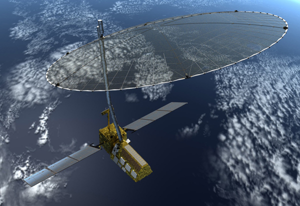
NISAR
Jump to: Mission Objectives, Mission Instrumentation, Mission Parameters, Additional Information
Mission Photos:

Courtesy of NASA Jet Propulsion Laboratory
Mission Objectives:
NISAR is a decadal survey mission for Earth Science. The primary mission is a radar interferometer for the purpose of measuring land and ice deformation.
SLR would provide a secondary precise orbit determination (POD) measurement. The primary instrument is a JPL-provided GPS receiver. POD is required to provide the precise position of the satellite as the radar is active. It is also necessary to provide calibration and comparison information on the GPS receiver. Finally, the position estimate is required to provide guidance to the daily orbit maneuvers.
Mission Parameters:
| Satellite: | NISAR |
| Sponsor: | NASA Jet Propulsion Laboratory |
| Expected Life: | 3 years |
| Primary Applications: | Land and ice deformation |
| Primary SLR Applications: | Orbit determination |
| COSPAR ID: | |
| SIC Code: | |
| NORAD SSC Code: | |
| Launch Date: | 2020 |
| NP Bin Size: | 1 second GPS |
| RRA Shape: | 6.25 inch diameter hemisphere |
| Cube Diameter: | |
| Reflectors: | |
| Inclination: | 98.40119 degrees |
| Eccentricity: | 0.0012530 |
| Altitude: | 747 km |
| Weight: |
Additional Information:
Web sites:


